Relocatable fine scale coastal models (RECOM)

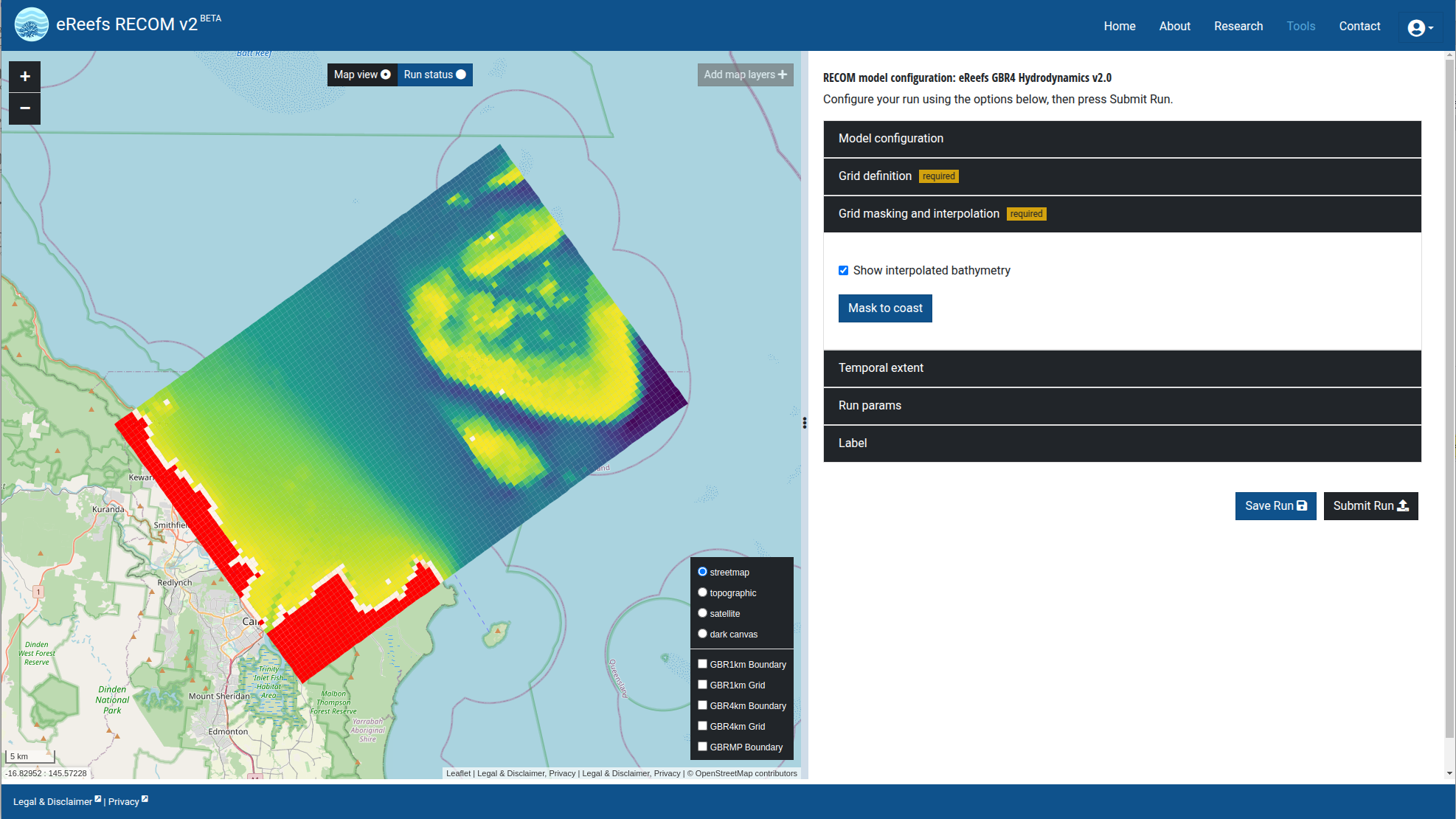
eReefs provides large-scale, three-dimensional hydrodynamic, sediment dynamic and biogeochemical models for the entire Great Barrier Reef region, but there is often a need to focus in more detail on local areas, such as particular estuaries or reef assets. RECOM provides a tool to quickly and easily build higher-resolution local models.

Modelling large areas present a variety of computational, technical and observational challenges. Nesting local models within regional models and regional models within global models is a common solution, providing the focus required at finer scales alongside the coverage and reliable open boundary conditions made possible by modelling at a larger scale.

eReefs marine models include three-dimensional hydrodynamic and biogeochemical models on 1km and 4km grids over a 300,000km2 area (see Regional hydrodynamic, sediment and water quality modelling). The models run continually in near-real time, and also in hind-cast mode to allow scenario simulations. Once the large-scale models have been fully calibrated, we anticipate an ongoing and recurring need to implement local scale, nested models for areas of particular interest, including both estuaries and reef assets.

Traditionally, implementation of a new model for a local area has required a major investment of time and resources. RECOM aims to reduce these costs and time-scales. RECOM, the “relocatable coastal ocean model” is an eReefs product under development that:

is a full-featured implementation of the CSIRO eReefs modelling suite, i.e. the biogeochemical, sediment dynamics and SHOC hydrodynamic models, provides a graphical interface and a rapid way to implement a pilot model that gives plausible results where limited data or resources are available, allows local models to be one-way or two-way nested within the large scale eReefs marine models allows refinement of a fully customised local model where additional modelling capability, resources and data are available. RECOM achieves these goals through a combination of user-friendly and computationally robust modelling tools, automated grid generation, asynchronous nesting, and evidence-based default biogeochemical parameter values.

overview
overview